Mountain Passes Kunzum Range
Passes in Tibetan are called La

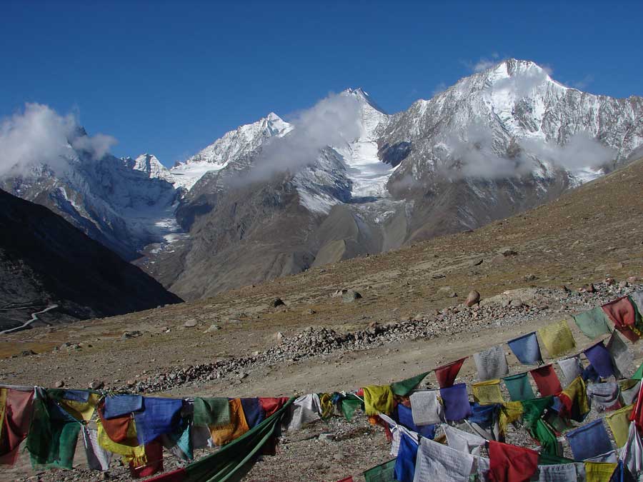
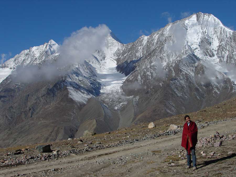
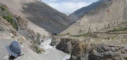
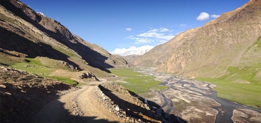
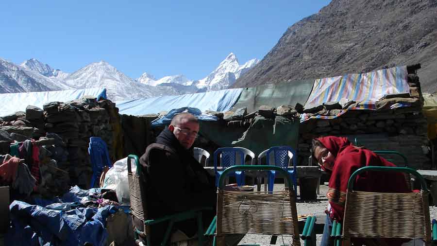
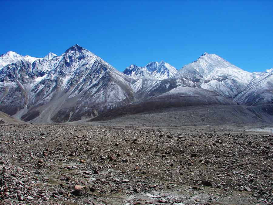
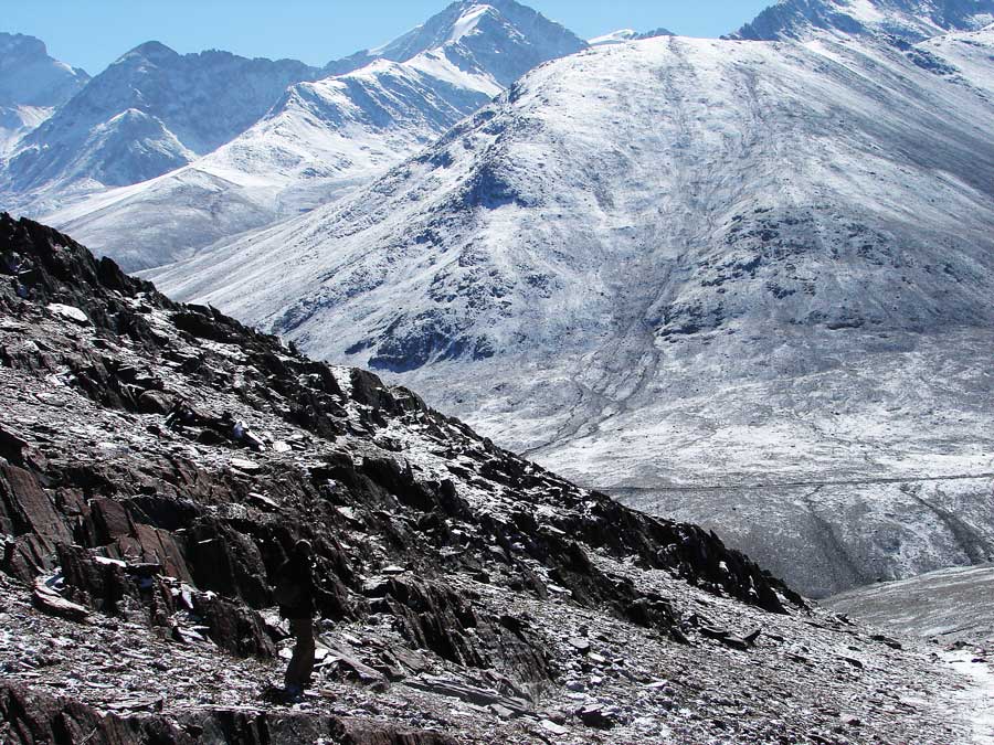
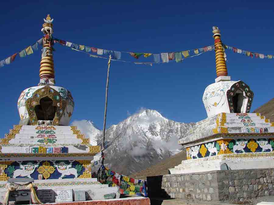
We are entering Spiti valley from Manali and Lahaul valley via the Rohtang pass. From the 4550m top of Kunzum La on a clear day you can see peaks in every direction (La is the Tibetan word for mountain pass). The views are stunning. This picture is taken on the ride up the Kunzum La from Batal in Lahaul Valley.
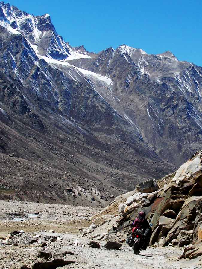
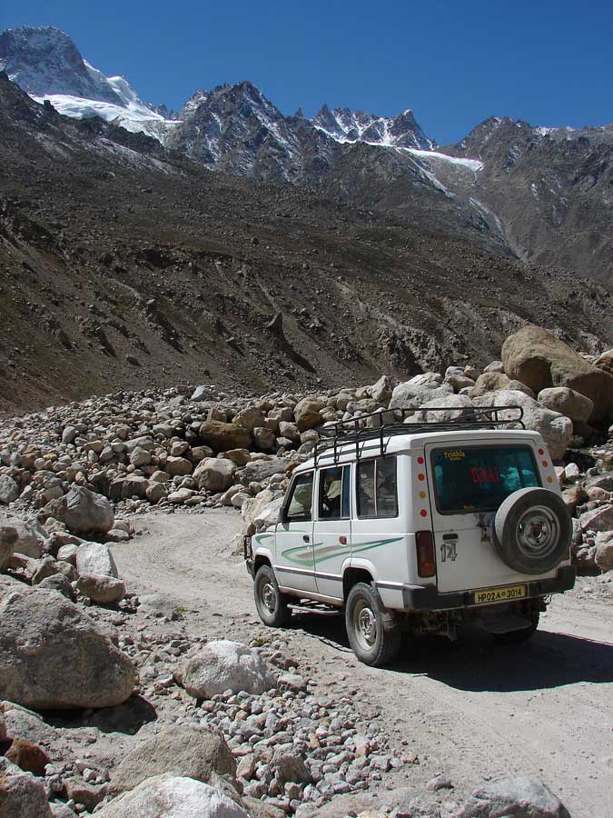
Lahaul valley runs East West and the snow is late to melt in the springtime. The road is rough as it often has been washed out when the snow and ice melts in the springtime and it has been recently bulldozed. The Border Roads Organisation leaves a D6 bulldozer permanently on the roadside in the spring to clear land slips and damage from the thawing snow. There are many side ‘nullas’ (small side streams) and gullies and flash floods are common resulting in washed out roads, bridges and fords.
Bouldering
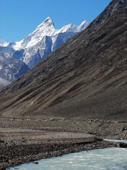
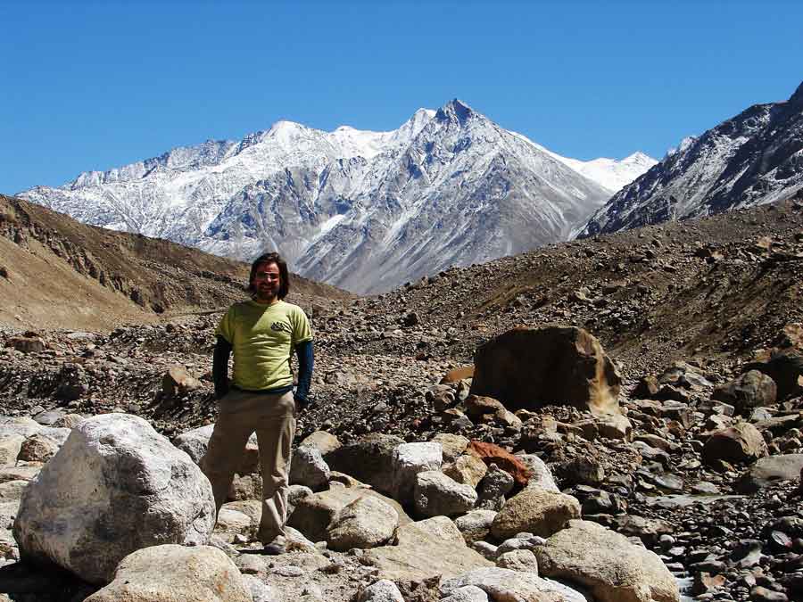
Riding through the Lahaul valley along the Chandra Bhaga river we pass many large boulders in the valley. They are left from glacial erosion and ‘Bouldering’ is a popular here.
The sport involves free climbing the large boulders which can be the size of a small cabin. An inflated mattress is positioned to break frequent falls while attempting the ascent. By all accounts it is more chilled than mountaineering and involves camping out in this amazing valley.

Every time that I have passed through Batal it has been cold. Void of trees and any real vegitation it’s surprising that even donkeys survive. They can be hired here for the trek up to Chandratal Lake, a mountain lake which has a beauty that inspires visions of Sangri-la.
Batal is located at the eastern end of Lahaul valley, on the bank of an icy river, just before a long army bridge. There is a roadside Dharba or chai shop and a dirty concrete Government rest house.
I have never had the slightest desire to spend any time there, certainly not sleep overnight, but the Dharba has the last hot chai before we cross the bridge to begin the winding road up the Kunzum la. Without a strong cup of chai the tough climb would be daunting, to say the least as we are already feeling the altitude and are covered in dust.
I know that the views from the top of the pass will be amazing and we quickly keep moving before spirits wane in the disorder and desolation that humans create in such places.
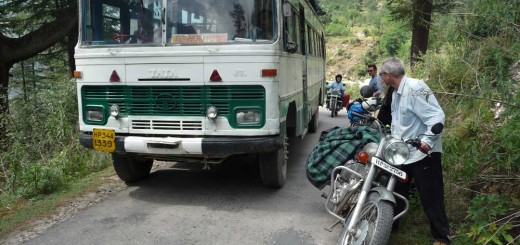
On one occasion a few years ago while riding up the Kunzumla an Australian rider lost his balance and his bike careened off road and down the mountainside. Fortunately he jumped off unhurt, just before it slid 40 meters down a steep slope. Miraculously there was minimal damage to the bike even though it cartwheeled at least once!
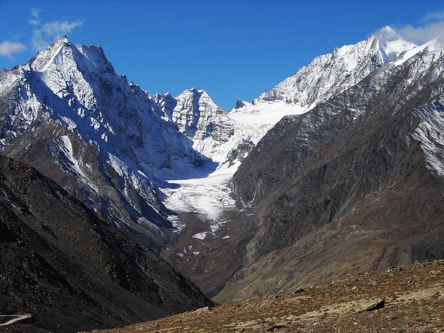
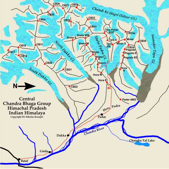
As luck would have it, unbeknown to us directly across the narrow valley was an Indian mountaineering school outpost that trains mountaineers and instructors. If you look at the map you will see that this part of the Chandra Bhaga group of mountains is ideal for this as there are many peaks of varying difficulty including trekking on Moraine and a trek to the Dhaka glacier. Good practice before attempting the 6264m CB-13 peak.
Some of the instructors witnessed the ‘flying Aussy’ accident and immediately crossed the river to help us.
Within 20 minutes the friendly instructors had the bike back up on the road, using only their climbing ropes and willing manpower from nearby road workers.
It was such an emotional turn of events, from disaster to celebration in 30 minutes! The bike started right away and with the help of some duck tape was rideable! That’s un-stopable Enfield Bullet for you!
I love India for the simple open friendship which I have frequently witnessed here!
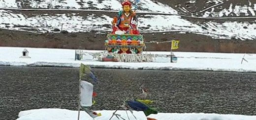
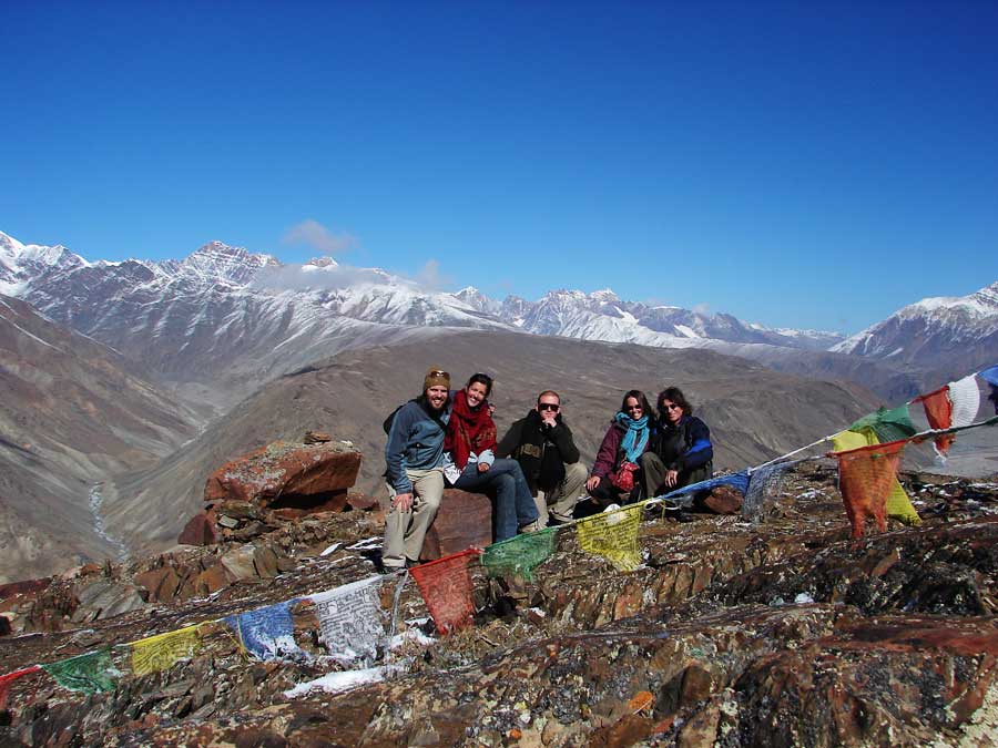
Our whole group made a puja on the roadside and we left a string of Tibetan Prayer flags strung over the boulders to mark the lucky spot!
Copyright Dr Nikolas Kroupis
Mountains of the Chandra Bhaga range, CB-13 6264m and CB-13a 6200m. The glaciers are South Dakka Glacier and North Dakka Glacier. The high peak in the picture below is the one behind, although it looks smaller viewed from Kunzum top.
